
In large-scale renewable energy construction, speed is no longer the only benchmark of success — precision is.
As solar projects continue to scale into hundreds of megawatts and tens of thousands of installations, the role of survey operations is evolving from a support function into a critical execution layer. What once depended on periodic validation and manual layout now demands real-time coordination, digital synchronization, and spatial governance.
At the center of this shift is the emergence of connected GPS machine-control systems — a transformation that is redefining how projects manage accuracy, accountability, and production efficiency.
From Layout to Live Execution
Traditional survey workflows relied heavily on layout crews transferring design intent from drawings into physical stake points. While effective for smaller or slower-paced projects, this approach struggles to keep pace with modern utility-scale developments where multiple crews operate simultaneously across vast geographic areas.
In high-density solar sites, production moves rapidly. A single outdated design file or misaligned control update can cascade into widespread rework — not because of faulty installation, but because of silent design drift.
Connected machine-control systems change this dynamic.
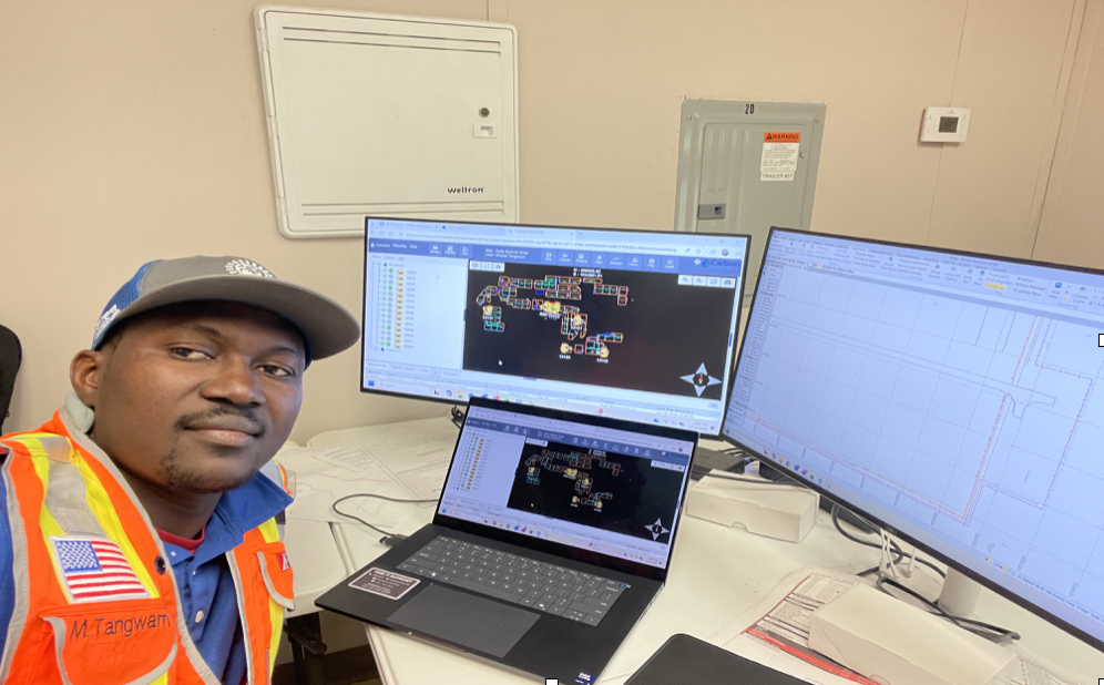
Instead of functioning as standalone positioning tools, modern pile-driving equipment becomes part of a synchronized spatial ecosystem. Each machine operates from a verified digital model tied to project control networks, enabling real-time alignment between design intent and field execution.
“Survey operations are no longer just verifying construction — they are actively governing it.“
Managing Complexity at Scale
Projects like the Delta Bobcat Solar installation — with nearly 79,000 piles across a 200 MW footprint — illustrate the growing complexity of renewable infrastructure delivery.
At this scale:
- Layout consistency must be maintained across multiple crews
- Design updates must propagate instantly
- Control integrity must remain traceable
The challenge is no longer measuring accuracy — it is maintaining synchronized spatial intelligence across production teams.
Machine-control systems equipped with GNSS positioning and centralized data environments provide a continuous link between design revisions and installation activity.
“When production moves fast, the team needs a single source of truth that follows the work.”
Beyond Technology: The Role of Governance
While GPS-enabled systems bring unprecedented precision, their effectiveness depends on structured workflows.
Without governance:
- Version mismatches can persist
- Calibration drift may go unnoticed
- Installation tolerances may be exceeded silently
To address this, projects increasingly rely on standardized file management, validation protocols, and tolerance monitoring — ensuring that every installation reflects current design intent.
Real-Time Visibility as a Risk Control
One of the most significant advancements in connected survey ecosystems is the ability to monitor installation quality in real time.
Through live dashboards and telemetry:
- Supervisors can detect positioning anomalies
- Field teams can correct issues immediately
- Documentation becomes audit-ready by default
Instead of discovering misalignment during post-installation checks, teams can intervene during active production — preventing costly downstream corrections.
“Connected machine-control transforms survey from a validation function into a production safeguard.”
Closing the Loop
As renewable projects grow in scale and complexity, the future of survey operations lies not in measurement alone, but in integration.
Connected GPS machine-control systems are enabling:
- Continuous alignment between design and execution
- Reduced design-version drift
- Improved quality assurance traceability
- Faster decision-making on-site
This evolution signals a broader shift in construction intelligence — where survey teams move from documenting reality to actively shaping it.
Final Insight
In utility-scale solar construction, success increasingly depends on closing the loop between design intent and field execution.
And in that loop, spatial intelligence is becoming as critical as structural integrity.